Site Record
Metadata
Site Name |
Grover Farm |
Site# |
Grover - 1 |
Description |
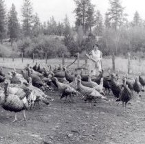
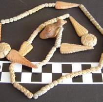
Grover Farm is located on the bank of the Susquehanna River about 6 miles south of Wrightsville, PA. The farm consists of 40 acres of rolling hills and has been under cultivation since 1825. Occasionally, Native American artifacts are found. These are either on the surface or turn up after plowing. |
Notes |
Degree, Minute, Second: Latitude: 76° 30' 31.927" N Longitude: 39° 59' 20.563" W Degree Decimal: Latitude: 76.5088687434144 Longitude: -39.9890451571004 Universal Transverse Mercator (UTM): Zone: 24 Easting: 474244 Northing: 8492184 Minute, Decimal: Latitude: 76°30.5321246048638 Longitude: -39°59.3427094260214 |
Township Name |
Hallam or Hellam Township |
City |
Wrightsville |
County |
York |
State |
PA |
Latitude Degrees |
47.0 |
Longitude Degrees |
118.0 |
Project Type |
Non-Systematic |


